Skug River Beaver Re-routes
|
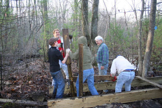
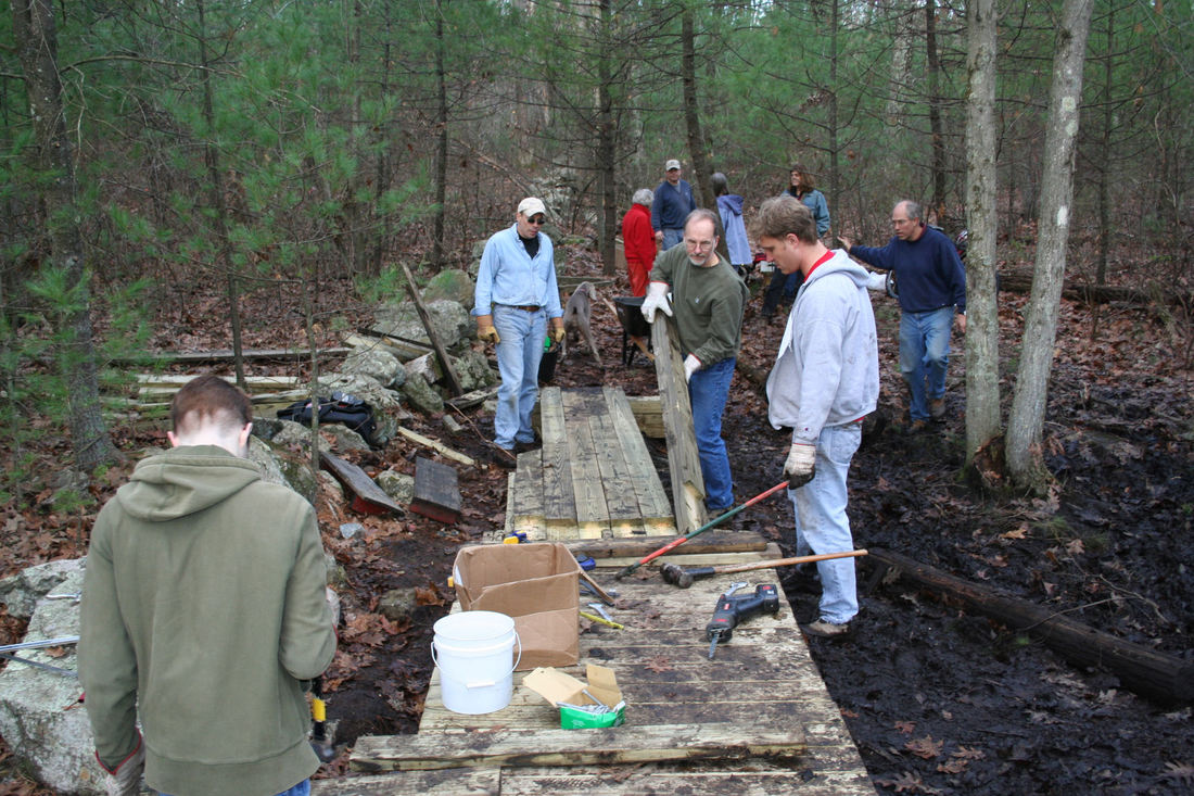
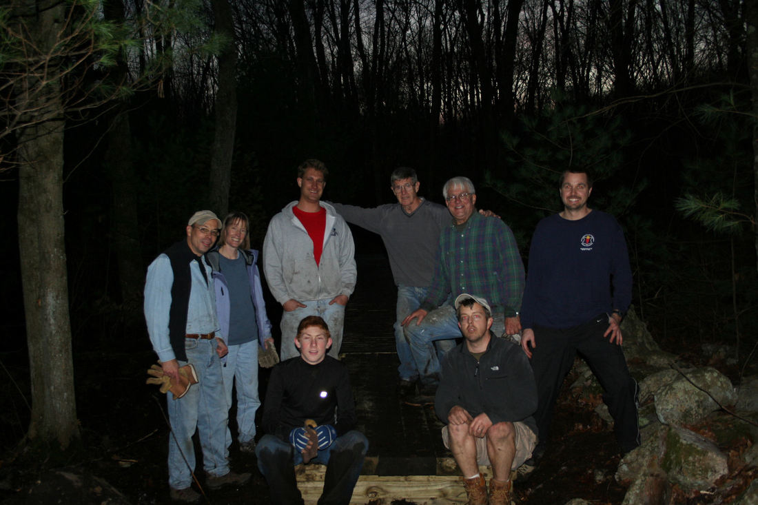
There are numerous areas where trail maintenance and re-routing were needed due to flooding from beaver dams on the Skug River. The flooding effects Harold Parker State Forest, Skug River Reservation, Hammond Reservation, and The Mary French Reservation. In the summer of 2006, thanks to input and permission from AVIS, The Bay Circuit Alliance, NEMBA, and Harold Parker State Forest, the largest re-route was accomplished on AVIS and Harold Parker land. This new route is part of the Bay Circuit Trail between the old soapstone quarry and the large glacial erratic. The route was mapped out by David and Jim from ATC with input from members of NEMBA. The goal was to put the trail on the highest ground available while keeping it as close as possible to the original trail (which is now almost completely under water due to the flooding from the beaver dam at the top of the quarry). Thanks to Andover Youth Services who undertook the actual route clearing in a single day. On the 5th and 18th of November 2006, members of AVIS and ATC undertook a big project on the Hornidge Bridge across the Skug River. We had 17 volunteers the first day and 15 volunteers the second day. Thanks to all of this help, we raised the bridge a foot to get it above the new high water level. The boardwalk style bridge was extended 20 feet on the HP side and 15 feet on the AVIS side. An additional 12 feet of bog bridge style bridging was added on the AVIS side. The bridge now extends all the way to the stone wall on the HP side. The rocks in the stone wall were re-arranged to try to make the wall into a usable part of the trail for about 50 feet after the bridge since both sides of the wall are very wet in this area. In the Summer of 2007, extensive flooding from the ever growing beaver dam required a re-route of the low section of the Bay Circuit Trail in the middle of Skug Reservation. Base logs for a two section simple bog bridge were cut from local downed trees and cutting the new trail and installing the bridging was undertaken by Jim Wilkinson over the course of two weekends. In late Summer 2007, the Hornidge Bridge was extended an additional 24 feet with bog bridge style bridging on the AVIS side of the river. Due to the dry conditions and the efficiency of the beaver dam upstream at Salem Street (which is causing problems in the Mary French Reservation) the water levels in Skug Reservation or very low. However, we expect them to rise again in wet conditions. Additional work will be undertaken to make it easier to walk on the stone wall on the far end of the Hornidge Bridge. We area also investigating a long boardwalk or bog style bridge on the Harold Parker side of the Hornidge Bridge. |
|


